Apr 6 2015
Can old data provide new insights about lightning and the physics of severe weather?
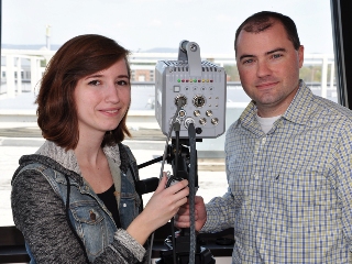 Jackie Ringhausen, left, a master's degree student in atmospheric science from Hardin, Mo., and UAH's Phillip Bitzer check the high speed video camera they use to record lightning flashes. Credit:UAH
A scientist at The University of Alabama in Huntsville (UAH) thinks it can.
Supported by a grant from the National Oceanic and Atmospheric Administration, UAH’s Dr. Philip Bitzer will spend the next two years studying 17 years of data from NASA’s Lightning Imaging Sensor, and breaking lightning flashes into their smallest pieces.
The goal is to find new ways to forecast severe weather using a lightning sensor aboard a satellite scheduled for launch in 2017.
“Most of the research to this point has focused on counting lightning flashes and trying to connect changes in the lightning numbers to severe weather events,” said Bitzer, an assistant professor of atmospheric science at UAH. “We propose to dive down below the flash level, to look at the individual parts of the flash.
“We want to look at the more fundamental aspects, to see how lightning stroke properties change, how they evolve and how those changes relate to the parent storm, and whether we can find a way to use that information to relate back to storm dynamics a little better.”
A typical lightning flash is made of several distinct pieces, starting with a weak, low luminosity leader that may climb into the atmosphere in several steps.
“Then you will see the ground stroke flicker, and that flickering is individual strokes,” Bitzer said. “All of that together becomes a flash.”
Combining the satellite sensor data with information from ground-based lightning detection networks, Bitzer will look for patterns in how these pieces come together in different types of storms, and whether different storms have distinctive patterns of lightning formation.
Part of the research will examine a special class of powerful lightning flashes called continuing current lightning.
In a normal lightning stroke, Bitzer said, the current of the stroke might last half a millisecond from beginning to end. In a continuing current lightning stroke, current can flow from ten to 100 milliseconds.
The electrical charge transferred in one of these extended flashes ranges from two to ten times as much as a typical flash, Bitzer said. “They will neutralize a lot more charge, reducing the overall electric field in the cloud. We’re trying to figure out how much of the energy of the storm is being dissipated by these flashes.”
While about one of every nine lightning flashes is a continuing current flash, Bitzer wants to see if they are more common in storms that produce severe weather events, or whether continuing current lightning is more common in storms that are weakening.
Source: http://www.uah.edu/