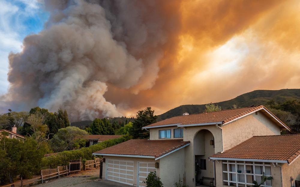
The number, frequency, and severity of wildfires worldwide have rapidly increased in recent years, driven by the warmer temperatures caused by climate change. Identifying where and when these fires might ignite can prevent them from ravaging the surrounding environment, protecting infrastructure, and saving lives.

Image Credit: OSORIOartist/Shutterstock.com
Wildfires are usually spotted by satellite imagery, but these fires are already relatively large – an average of 18.4 km2 – and likely to be growing quickly. Improved early detection systems are critical in wildfire management, and researchers worldwide are working on sensor-based platforms capable of identifying fires much sooner.
Drone Detectives
Many fire departments already use drones or unmanned aerial vehicles (UAVs) armed with thermal imaging cameras to survey areas, improve situational awareness and aid effective decision-making on the ground. However, these drones could also be equipped to receive signals from sensors, alerting fire departments to potential blazes.
Researchers from the Autonomous Robotics Research Center of the Technology Institute, Abu Dhabi, have developed a novel platform featuring a network of sensors scattered through areas of concern, connected by the Internet of Things (IoT), which feedback to patrol drones or UAVs.
The premise is simple; if a fire ignites, the IoT sensors in the area will register and report the temperature anomaly to a patrol drone as it passes over. If it receives multiple positive reports from a cluster of sensors, the drone will alert a central command center – likely the local fire department – that it has detected and verified a wildfire.
The sensors could detect wildfires averaging 2.5km2 in size with 99% accuracy, and those measuring 0.5km2 with 69% accuracy. This suggests that if an optimal number of UAVs and IoT sensors are present, the platform can reliably detect wildfires much quicker than satellites.
The platform works best over a relatively small area and should be used in particularly high-risk areas, alongside current satellite technology, say the researchers, who plan to improve the platform by optimizing the UAV’s trajectory and improving its battery life. The platform could also be used to monitor other parameters such as wind speed and moisture or to monitor oil spills in water.
Real-Time Monitoring of Wildfires
A similar project in Greece – OFIDIA2 – has developed a near real-time fire danger forecasting and monitoring platform for the Puglia and Epirus regions. It uses sensor data and weather forecasts to aid operational firefighting decisions using a fire behavior projection model.
Real-time observation of the ecophysiology of the trees can help predict the risk of a fire igniting. Capacitive infrared and optical sensors are used, alongside HD video cameras and drones which patrol the area, to capture important pre-alarm signals about the health of the plant and the surrounding site, while a monitoring dashboard aids informed decision-making concerning fire mitigation.
California Hotspot
California has tested an innovative sensor to monitor particulates and air quality as a way of detecting wildfires early. Image Credit: David A Litman/Shutterstock.com
In California, a hotspot for wildfires, the US Department of Homeland Security’s Science and Technology Directorate (S&T) recently tested four prototype technologies for early wildfire detection. Among them was a unique sensor technology that monitors particulates and air quality – smoke and air pollution – alongside optical sensors, thermal imagery, and photoelectric sampling.
Placed at different distances away from a controlled burn’s ignition point, the S&T was able to determine time and distance for alert generation and showed how such sensor technologies can be a valuable resource for first responders such as the fire department and the general public.
LiDAR Mapping
Drones equipped with LiDAR sensors are being used by Spanish researchers to help manage the nation’s forests. Instead of detecting fires, drones with advanced mapping capabilities gather data that can be used to help lower the risk of devastating blazes by identifying where the most intense wildfires and rapidly spreading zones are likely to occur.
Toledo University, in partnership with LiDAR specialists Routescene, deployed drones in the Albacete region to gather data on where wildfires burned most, the location of different vegetation, its abundance and condition, and speed of burning compared to other foliage. The same 3,217-hectare site was also surveyed six months later to give recovery growth time to begin.
The LiDAR-equipped drones also investigated the extent the foliage was damaged. The remains of trees and vegetation offer an indication of the fire’s severity and can provide forestry authorities with information on preventative measures and vegetation management.
Because they can fly lower, drones gather tree-top-level data and ground-level information from between the foliage. This provides details about the forest’s canopy height and allows researchers to create digital terrain models listing the species and conditions of individual trees. This information is much more useful and detailed than that obtained by satellites.
Conclusion
Wildfires are a threat to the environment, infrastructure, and lives, and the sooner they are detected the greater the chance of survival. Satellite imagery, while useful, can only detect fires once they have reached a certain size, by which time they could be growing rapidly. Sensors on the ground - working alongside satellite imagery - provide a quicker way to detect wildfire ignition, meaning a better chance of avoiding catastrophic damage to the area.
References and Further Reading
Crumley, B. (2021) LiDAR drone provides wildfire data used to lower new blaze risks – Drone DJ: https://dronedj.com/2021/06/04/lidar-drone-provides-wildfire-data-used-to-lower-new-blaze-risks/. Accessed 15 June 2021.
Hampson, M. (2021) Drones and Sensors Could Spot Fires Before They Go Wild – IEEE Spectrum: https://spectrum.ieee.org/tech-talk/sensors/remote-sensing/drones-sensors-wildfire-detection. Accessed 15 June 2021.
CMCC Foundation (2021) Wildfire monitoring and prevention: Science, innovation and cross-border cooperation – Eurekalert: https://www.eurekalert.org/pub_releases/2021-05/cf-e-wma052621.php. Accessed 15 June 2021.
Singh, I. (2021) How drones and IoT sensors can galvanize early wildfire detection – Drone DJ: https://dronedj.com/2021/05/25/drones-iot-early-wildfire-detection/. Accessed 15 June 2021.
Homeland Security Today (2021) DHS S&T Successfully Evaluates Wildfire Sensors with California Emergency Responders – Homeland Security Today: https://www.hstoday.us/subject-matter-areas/emergency-preparedness/dhs-st-successfully-evaluates-wildfire-sensors-with-california-emergency-responders/. Accessed 15 June 2021.
Disclaimer: The views expressed here are those of the author expressed in their private capacity and do not necessarily represent the views of AZoM.com Limited T/A AZoNetwork the owner and operator of this website. This disclaimer forms part of the Terms and conditions of use of this website.