In the coming years, remote sensing is slowly becoming a solid contender for analytical activities on the Earth's surface. This article discusses the concept of remote sensing and its history before listing the key challenges that are to be met to enhance this sensor technology.
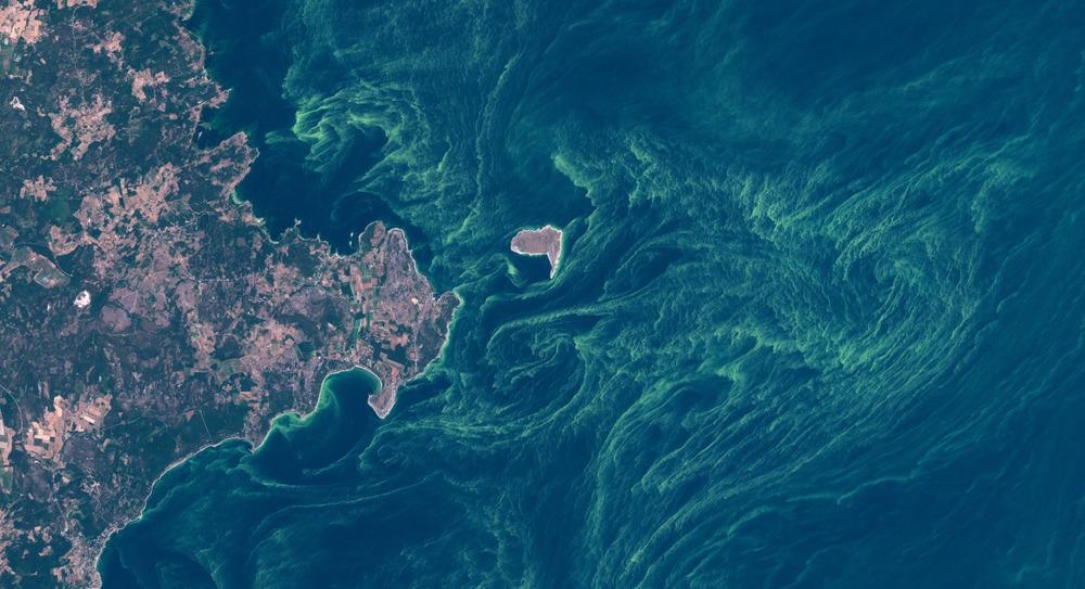
Image Credit: Willem Tims/Shutterstock.com
What is Remote Sensing?
Remote sensing is a technique of checking a specific surface on Earth (or any other planetary body) using a satellite or an aircraft. The monitoring occurs in two steps; the first step involves sensors installed on the satellites that collect information, while the second step involves researchers who assess the information obtained from these sensors. A remote sensing process is used in a wide variety of applications, from predicting weather and forest fires to mapping new moons and planets.
History & Emergence of Remote Sensing
The earliest known remote sensing example can be found in the 1840s when some balloonists used the newly-invented photo camera to take pictures of the ground. The famed pigeons of Germany were another example where Doctor Julius Neubronner, a German apothecary, decided to strap cameras on pigeons with a timer so that pigeons could take photos while flying.
The term 'remote sensor' was first used in 1957 when automated-photo camera systems were installed on the German V-2 rockets that were launched from White Sands, New Mexico.
When Sputnik became successful in 1957, space industries saw the potential to put cameras and sensors over the satellites to monitor the Earth's features. This led to the emergence of meteorological satellites which were mounted with image sensors that provided black and white images of the Earth.
Eventually, remote sensing started to be perceived as a system for repetitive observation of a location over a period. Landsat was amongst the first satellites that was specifically used to monitor land and ocean surfaces. By the 1980s, Landsat was privatized, and various commercial players from countries like the United States, France, Russia, and Japan started developing their own remote sensing instruments.
Today, remote sensing has risen to become a scientifically advanced tool for atmosphere and surface monitoring purposes. More than $150 billion dollars have been spent on earth observation from the space age.
It is being used for practical applications along with natural resource management. But despite the advances in the field, several fundamental challenges need to be addressed.
Challenges in Remote Sensing
The primary benefit of the remote sensing technique is to map and see large regions on Earth. However, several disadvantages are prevalent in the current methods of satellite data collection. For instance, the proximity of the Low Earth Orbit satellites from the ground makes them good contenders for information exchange due to the minimal time delay, but the global coverage this type of satellite offers is mostly between one to three days.
Due to this, natural phenomenon that have low variability are not understood by these satellites.
Although the high-orbit geostationary satellites work on this limitation by supplying frequent daytime observations of the area, the resolution of the collected data is quite low. Therefore, it is necessary to achieve a balance between the resolution and the coverage for achieving exact observations.
The second important challenge is that the current satellite instruments lack the information delivering capability for many applications.
There is a need for new sensing technologies to be added to enhance the mapping process. For example, multi-angular polarimeters have been identified as the best instruments for data collection for distinguishing columnar properties of atmospheric aerosol and cloud processes.
The dependence on polarimetric data for the process is going to increase in the next couple of years. Therefore, several space agencies like NASA, ESA are planning to launch polarimetric missions such as 3MI (Multi-View Multi-Channel Multi-Polarization Imaging mission) on the MetOP-SG satellite and Multi-Angle Imager for Aerosols (MAIA) instruments.
LiDAR's and Radars are also being discovered and incorporated as active remote sensing instruments for applications that include vertical atmosphere variability.
LiDAR technologies have found success in being robust mapping sensors along with radar, and have been used aboard the Aeolus satellite in 2018.
Having a combination of sensors is useful for analyzing a complex environment as a single sensor cannot provide the in-depth information that is required. For instance, the advanced multi-angular polarimeter instrument cannot categorize the aerosols due to its small sensitivity.
Another challenge that has been seen is the requirement of robust data processing approaches. An advantage of data processing algorithms is that they can be constantly improved and compensate for the inability to improve the instruments.
The newer algorithms in the market supply a lot of parameters instead of the traditional Look-Up-Table's approach. Some algorithms deployed also involve analysis of multiple measurements and synergizing them to supply correct results.
A popular example is the Generalized Retrieval of Aerosol and Surface Properties (GRASP), which unifies the retrieval processes for the observations obtained from space, ground, and aircraft.
In recent years, machine learning approaches are being used to detect, visualize and extract patterns in remote sensing data. This approach involves algorithms that "learn' from the data, perform pattern identification, and then derive a conclusion from the data automatically.
Finally, a continuous collection of satellite observations over a span of years without any break is necessary to ensure that the data collected can be used to study long-term patterns such as climate change. A gap in the observation leads to the quality of the satellite data being affected.
Remote sensing has been an important tool for advancing scientific progress and is essential for humanity's survival. In the United States, the National Research Council Report has laid down a framework that aims to launch 17 new missions in the next decade. The focus in the future is for remote sensing technology to be faster and cheaper, and with private players entering the market, the resources required to meet the challenges in the field are being met.
Interivew: Continuing NASA's Earth Observation Legacy with Landsat 9 .
References and Further Reading
Planetek Italia. (2021) The History of Remote Sensing. [online] Available at: https://www.planetek.it/eng/training_courses/online_manuals/on_line_course_of_remote_sensing/2_the_history_of_remote_sensing.
DenHoed, A. (2021) The Turn-of-the-Century Pigeons That Photographed Earth from Above. [online] The New Yorker. Available at: https://www.newyorker.com/culture/photo-booth/the-turn-of-the-century-pigeons-that-photographed-earth-from-above
earthdata.nasa.gov. (2021) What is Remote Sensing? | Earthdata. [online] Available at: https://earthdata.nasa.gov/learn/backgrounders/remote-sensing.
spie.org. (2021) Bright future for remote sensing? [online] Available at: https://spie.org/news/spie-professional-magazine-archive/2007-july/sp-bright-future-for-remote-sensing?SSO=1.
Dubovik, O., Schuster, G.L., Xu, F., Hu, Y., Bösch, H., Landgraf, J. and Li, Z. (2021). Grand Challenges in Satellite Remote Sensing. Frontiers in Remote Sensing, 2. Available at: https://doi.org/10.3389/frsen.2021.619818
Disclaimer: The views expressed here are those of the author expressed in their private capacity and do not necessarily represent the views of AZoM.com Limited T/A AZoNetwork the owner and operator of this website. This disclaimer forms part of the Terms and conditions of use of this website.