Human activities have directly or indirectly affected forested areas across the world. In this article, the role remote sensing plays in supporting forest restoration and management practices are discussed.
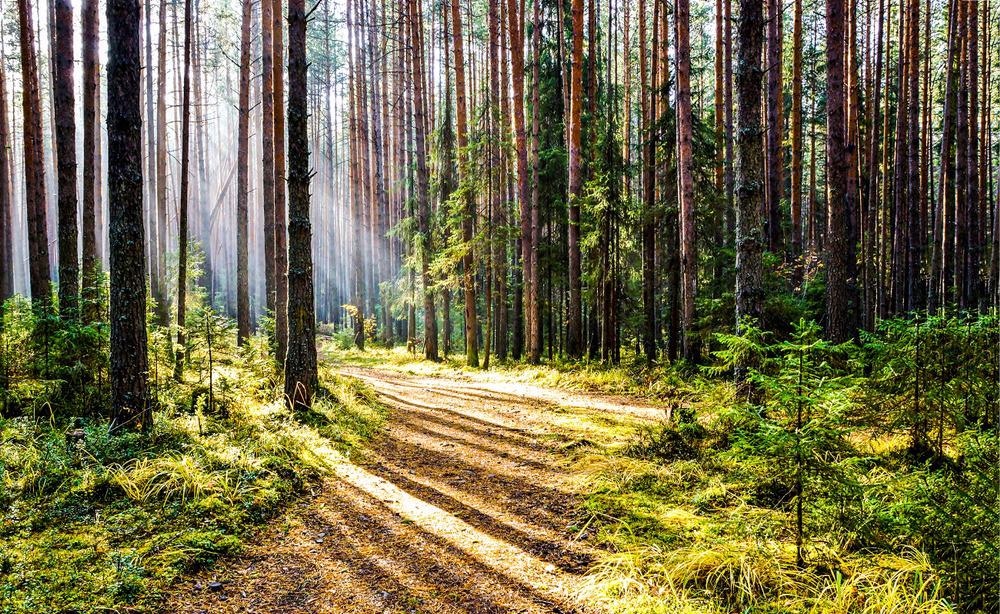
Image Credit: TSN52/Shutterstock.com
What is Forest Restoration?
Increased industrialization, illegal logging and a rise in agricultural land demands are significant drivers of deforestation and forest degradation. However, forest lands are a critical player in decreasing greenhouse gas emissions as they contribute to carbon sequestration.
In return, there is a large push for forest management practices to preserve these natural resources through the process known as forest restoration.
Forest restoration practices can involve planting trees in degraded forests and the reintroduction of water processes that add to the forest productivity, like how much water interacts with the soils, plants, and streams.
How Does Remote Sensing Work?
Remote sensing is the science of measuring and recording features of objects on the surface of the earth at a distance using planes, drones, or satellites.
Remote sensing works hand in hand with geographic information systems (GIS), a computer-based tool that is used to map and analyze features on the earth.
This technique can provide a valuable outlook into pressing environmental issues like deforestation and forest degradation and has important roles in forest ecology and management.
Applications of remote sensing in forestry can include mapping the distribution of tree species in forest ecosystems and characterizing the forest's three-dimensional structure.
Barriers to Remote Sensing of Environments
Forest degradation occurs when the forest ecosystems lose their ability and capacity to thrive.
Slightly over half the tropical forests worldwide have been damaged or destroyed since the 1960s. It has been estimated that more than a hectare of tropical forests is drastically degraded or destroyed every second; this is not limited to tropical forests.
Anthropogenic activities, forest fires, livestock, and diseases have been the cause of damage to an estimated 3.7 million hectares of forest land in Europe alone.
In developing countries with large forested areas, support funds are typically directed to produce basic necessities like clothing, shelter, food, and clean and safe drinking water for its citizens.
Consequently, little or no funding is directed to remote sensing tools and equipment that can effectively support forest restoration and forest management practices.
Another challenge faced in remote sensing is the lack of coordination between remote sensing and the GIS community.
The lack of geography taught in schools and remote sensing centers or institutions has made using remote sensing and GIS tools difficult, which in turn, limits the ability of such technologies to combat forest degradation and deforestation.
The high spatial resolution sensors used in remote sending, such as IKONOS and quick bird, produce images that are finer than 10m pixel size. Such images allow for more accurate detection, but this usually implies higher costs and more data to be processed, making them less suitable for use at a national level analysis and mapping of the forest lands.
If extensive forested areas are being monitored, it can be a time-consuming process, limiting the number of degraded lands that can be analyzed and mapped.
For medium spatial resolution images, the NASA Landsat satellite is the preferred remote sending system because of its long history of data availability and suitability for spatial and spectral resolution.
Coarse spatial resolution sensors like MODIS usually have a high pixel size of 250 m or more, and this spatial resolution is regarded as too coarse to be used to map forest degradation.
Furthermore, accurate analysis to map the levels of forest degradation will require long observation periods to track the gradual changes.
Forest degradation is more than just canopy cover change. Not all types of degradation can be monitored or detected from above.
Some forest degradation types may result in structural changes below the canopy, which cannot be detected from above. Moreover, biomass losses do not correlate with canopy cover change.
Forest degradation will often occur at spatial-temporal scales, usually below the detection capabilities of many remote sensing technologies, especially that of multispectral sensors of satellites.
More funding will need to be directed to remote sensing and GIS personnel and equipment, resulting in a better chance to fight forest degradation and deforestation.
The introduction of new and better sensors with high spatial resolutions and covering larger areas would greatly improve the chances of remote sensing in forest restoration strategies.
Teaching geography-related subjects in high schools with syllabi that focus on using remote sensing equipment and software such as ArcGIS could help produce more competent personnel. More drones, aircraft, spacecraft, and satellites that are dedicated to forest restoration could also be added to the already existing equipment.
The Future of Forest Restoration Strategies
With the increasing pressures from climate change and global warming, the need to preserve our forests is now more important than ever. Only with increased funding and support can remote sensing systems be fully taken advantage of for long-term forest restoration strategies.
Using UAV (unmanned aerial vehicles) supplied with remote sensing systems that are capable of producing high-resolution images can help provide accurate data about forest lands.
Recent technological advancements have led to the development of UAV- compatible HSI sensors. This is a cost-effective and accurate sensor that can accurately estimate the structural parameters of forested areas.
Further Reading and References
Malenovský, Z., Mishra, K., Zemek, F., Rascher, U. and Nedbal, L., (2009) Scientific and technical challenges in remote sensing of plant canopy reflectance and fluorescence. Journal of Experimental Botany, 60(11), pp.2987-3004. http://dx.doi.org/10.1093/jxb/erp156
Cesario G, U. and Angelito B, E., (2021) PROBLEMS IN USING REMOTE SENSING AND GIS IN THE PHILIPPINES. [online] Fao.org. Available at: https://www.fao.org/3/XII/0261-B1.htm
Gao, Y., Skutsch, M., Paneque-Gálvez, J. and Ghilardi, A., (2020). Remote sensing of forest degradation: a review. Environmental Research Letters, 15(10), p.103001.https://iopscience.iop.org/article/10.1088/1748-9326/abaad7/pdf
De Almeida, D.R.A., et al (2021). Monitoring restored tropical forest diversity and structure through UAV-borne hyperspectral and lidar fusion. Remote Sensing of Environment, 264, p.112582.https://doi.org/10.1016/j.rse.2021.112582
Disclaimer: The views expressed here are those of the author expressed in their private capacity and do not necessarily represent the views of AZoM.com Limited T/A AZoNetwork the owner and operator of this website. This disclaimer forms part of the Terms and conditions of use of this website.