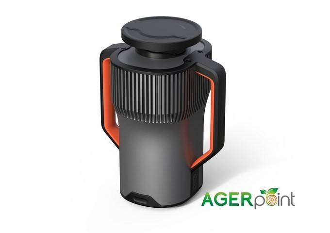
AGERpoint, Inc.™ is proud to announce the development of its new LiDAR sensor, the GML100. The GML100 is the first Geiger-mode avalanche photodiode LiDAR unit on the market to offer multiple returns per flash per detector and a form factor that can be used across a wide array of industries and mobile settings. The increase in point cloud density made possible by this innovation results in higher quality three-dimensional point cloud data compared any product in its price category currently on the market.
 AGERpoint - GML100 (Credit: AGERpoint)
The GML100 generates one million laser pulses each second, which reflect off features in the environment which are then received by the sensor and assembled into a precise three dimensional representation of the scene. Each pulse can be reflected from various ranges before returning to the sensor, which can measure multiple returns from a single pulse. Because of the light weight of the unit (under 10 pounds) it is readily mounted on vehicles ranging from autonomous aerial and ground units to heavy farm and construction equipment. The acquisition software of the GML100 permits real-time point cloud viewing, facilitating mission planning and monitoring. Taken together, the mobility and efficiency of the GML100 make it an ideal candidate for deployment in agriculture, defense, and forestry, as well as infrastructure projects such as highway, rail, and utility construction.
Data from the GML100 can be output in industry standard LAS and LAZ formats for analysis, or downloaded to AGERpoint for analysis and reporting through the AGERpoint web-based data platform. Agricultural growers also have the option of integrating their data with the AGERmetrix agricultural information management system. With pricing projected to be more than 50% below those of sensors currently available, AGERpoint's entry into the LiDAR sensor market promises to bring unprecedented levels of accuracy to the 3D modeling landscape in a highly mobile, cost-effective package.