The Earth has been monitored from space for many decades. Satellite images captured by space agencies like NASA and ESA have long assisted international teams of scientists to gain a deeper understanding of the relationship between human activity and climate change, as well as to develop initiates to tackle such issues.
Ecosystem monitoring can reveal critical data relating to factors contributing to climate change. Monitoring systems can be used to observe changes in agriculture, forests, the atmosphere, sea levels, coastal erosion, weather patterns, etc., over time. Whether initiatives implemented to slow down and, eventually, reverse climate change are successful can also be observed.
The IPCC's previous report highlighted that climate change models have calculated that the Earth has warmed by 1.5-2 °C, depending on the global region. This increase in temperature has led to extreme temperatures, heavy rainfall, and an increased prevalence of droughts.
The newly published 2021 IPCC report has stressed that data confirm an atmospheric and oceanic temperature increase have been caused, at least in part, by human influence. Monitoring the Earth's ecosystem offers scientists a way to collect data that strengthen links between human behavior and climate change, helping them devise more effective climate change initiatives.

Image Credit: Vladi333/Shutterstock.com
Satellite Sensors and Multispectral Technology
Copernicus, a European Earth observation program that incorporates satellite data, has operated for many years, collecting detailed information on the atmosphere, the ecosystem, weather patterns, and more.
Now, a German hyperspectral satellite mission known as the Environmental Mapping and Analysis Program (EnMAP), has been developed to exceed the capabilities of Copernicus with its multispectral technology.
EnMAP is designed to monitor Earth's ecosystem via high-resolution hyperspectral sensor technology. It overcomes the image resolution limitations and image-capturing opportunities of current multispectral technology. In addition, EnMAP technology can replace traditional "in situ" measurements that rely on lengthy analytical processes, streamlining this process and providing valuable insights faster than previous techniques.
How Does EnMAP's Hyperspectral Sensor Work?
EnMAP's new hyperspectral collects more data than conventional satellites, which generally only collect information about visible light. The new sensors will also collect data that is not available to the naked eye, revealing insights into the presence of minerals and other materials. Doing so gives scientists richer information to form the basis of their assessments about the nature of climate change. For example, the sensors will be able to detect microplastics in the ocean by analyzing the sunlight reflected from the polymer molecules in the surface water.
Designing Better Climate Change Solutions with EnMAP
Various industries stand to benefit from EnMAP's technology, enabling them to design climate change solutions more effectively. Perhaps the sector best-positioned to benefit is agriculture. The increased prevalence of droughts and floods due to climate change is detrimental to this industry, with the stability of food security decreasing each year.
EnMAP will help farmers mitigate the impact of climate change by giving them access to continuous data that could help reduce the frequency of crop failures by estimating levels of nutrient deficiency, pest infestations, and water shortages. Additionally, the same satellite data could be leveraged to develop more beneficial climate change policies for the agricultural industry.
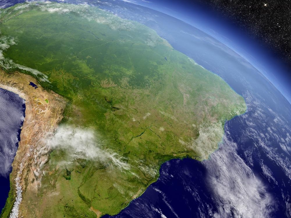
Image Credit: Harvepino/Shutterstock.com
This sensor technology will also be vital in protecting the world's forests. Trees present an opportunity to offset emissions by absorbing CO2 from the atmosphere. Therefore, protecting forests is an essential strategy to tackling climate change. EnMAP's satellites can assess the efficacy of current forest management techniques, reporting the sustainability of such methods. Similarly, changes to sea level can be monitored with high degrees of accuracy, confirming or negating the success of current initiatives to prevent coastal erosion.
What Does the Future Look Like for EnMAP Technologies?
While the new EnMAP technology offers solutions to the limitations of previous efforts, it is not without its setbacks. Currently, the technology is costly to the environment, requiring the combustion of rocket fuel, which is counterintuitive to the efforts to reverse climate change. Fortunately, recent years have seen numerous advances in the field of green energy. It is hoped that the significant advances made in the development of clean aviation fuel will be leveraged into the development of emissions-free rocket fuel. Once this has been established, EnMAP will be ready to make a significant contribution to monitoring climate change.
--
Industrial Response to Climate Change
This article is a part of the IPCC Editorial Series: Industrial Response to Climate Change, a collection of content exploring how different sectors are responding to issues highlighted within the IPCC 2018 and 2021 reports. Here, Sensors showcases the research institutions, industrial organizations, and innovative technologies driving adaptive solutions to mitigate climate change.
References and Further Reading
IPCC, (2018) Summary for Policymakers. In: Global Warming of 1.5°C. An IPCC Special Report on the impacts of global warming of 1.5°C above pre-industrial levels and related global greenhouse gas emission pathways, in the context of strengthening the global response to the threat of climate change, sustainable development, and efforts to eradicate poverty [Masson-Delmotte, V., P. Zhai, H.-O. Pörtner, D. Roberts, J. Skea, P.R. Shukla, A. Pirani, W. Moufouma-Okia, C. Péan, R. Pidcock, S. Connors, J.B.R. Matthews, Y. Chen, X. Zhou, M.I. Gomis, E. Lonnoy, T. Maycock, M. Tignor, and T. Waterfield (eds.)]. World Meteorological Organization, Geneva, Switzerland. In Press
IPCC, (2021) Summary for Policymakers. In: Climate Change 2021: The Physical Science Basis. Contribution of Working Group I to the Sixth Assessment Report of the Intergovernmental Panel on Climate Change [Masson-Delmotte, V., P. Zhai, A. Pirani, S. L. Connors, C. Péan, S. Berger, N. Caud, Y. Chen, L. Goldfarb, M. I. Gomis, M. Huang, K. Leitzell, E. Lonnoy, J.B.R. Matthews, T. K. Maycock, T. Waterfield, O. Yelekçi, R. Yu and B. Zhou (eds.)]. Cambridge University Press. In Press.
Zivkovic, O., (2019) A new generation of 'hyper' satellites to prevent a climate catastrophe | DW | 05.12.2019. [online] DW.COM. Available at: https://www.dw.com/en/a-new-generation-of-hyper-satellites-to-prevent-a-climate-catastrophe/a-51535184
Sornig, M., Fischer, S., Chlebek, C., Muecke, M., Honold, H. and Heider, B., (2019) The hyperspectral instrument onboard EnMAP: overview and current status. International Conference on Space Optics — ICSO 2018. Available at: https://doi.org/10.1117/12.2535926
Enmap.org. (2021) EnMAP. [online] Available at: https://www.enmap.org/
Disclaimer: The views expressed here are those of the author expressed in their private capacity and do not necessarily represent the views of AZoM.com Limited T/A AZoNetwork the owner and operator of this website. This disclaimer forms part of the Terms and conditions of use of this website.