Image Credit: Kelly Sikkema on Unsplash.
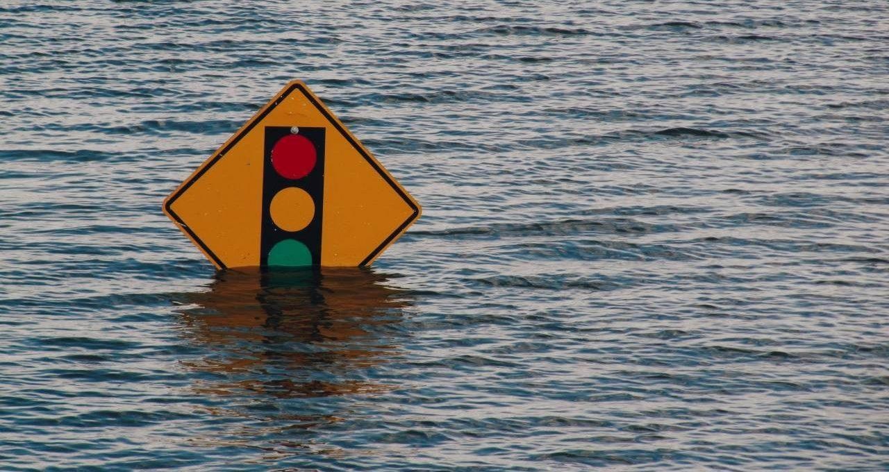
Thousands of people shifted and there were hundreds of millions of dollars worth of damages, urging emergency re-investment in the aging system. A new study headed by scientists of Concordia University highlights hos modern technology and the latest available information is assisting that effort.
The lead author and research associate Guénolé Choné and Pascale Biron, professor in the Department of Geography, Planning and Environment, have presented a new approach to make a watershed-scale flood model depending on LiDAR data.
Their co-authors of the study include Thomas Buffin-Bélanger from the Université du Québec à Rimouski, Concordia research associate Iulia Mazgareanu, Jeff Neal of the University of Bristol and Christopher Sampson of the United Kingdom–based flood mapping company Fathom, an early pioneer in the large-scale flood mapping field.
LiDAR, the so-called Light Detection and Ranging, is a mapping system that makes use of aircraft-mounted pulsed lasers to quantify ranges on the surface of the Earth. The data gathered by it could be utilized to give exceptionally accurate representations of local topography.
This can be highly valuable to natural-resource industries, geographers and other scientists, inclusive of public safety authorities and insurers. In such a case, the information was collected by the Quebec Ministry of Forests, Wildlife and Parks for the profit of the large forestry industry of Quebec.
Calculated Risks
The majority of large-scale mapping of flood hazard areas depends on satellite data, which offered approximately 30-m grid resolution models. LiDAR provides a 1 m grid resolution. At this level, it has the ability to offer elevation readings that are precise within 15 to 20 cm.
While LiDAR loses its ability to penetrate surface water, it could provide an accurate water surface reading that is dated and time-stamped. In their model, the scientists link this data with the river discharge data offered by the Ministry of Environment and Fight Against Climate Change to evaluate the depth of the riverbed called the bathymetry.
Gaining better insights into a river’s carrying capacity can give public safety officials sufficient time to act and warn area residents when hydrological models forecast conditions that can result in flooding.
According to the scientists, this system is just as applicable to big rivers like the Chaudière or Gatineau as it is to smaller ones down to measuring a width of around 10 m. These form nearly 25,000 km of rivers in southern Quebec alone. Biron compares the model to a catalog that officials could refer to when looking to forecast possible flood level extent of events provided with a specific set of situations.
This project comes under the Projet INFO-Crue, a Quebec government program to update flood maps in 50 main watersheds that turned out to be an urgent priority after the recent series of floods.
Large-scale modeling was a way for Quebec to get to the forefront of flood-risk assessment, because it would be impossible to send surveyors out to measure bathymetry for 25,000 kilometers. This is an example of fundamental research trying to develop tools that turn into very applied research that will help society be better prepared for future flood events.
Pascale Biron, Professor, Department of Geography, Planning and Environment, University of Concordia
This study was financially supported by the Ministère de la Sécurité publique du Québec, Ministère de l'Environnement et de la Lutte contre les changements climatiques du Québec, and the Natural Sciences and Engineering Research Council of Canada.
Journal Reference:
Choné, G., et al. (2021) An assessment of large-scale flood modeling based on LiDAR data. Hydrological Processes. doi.org/10.1002/hyp.14333.