Image Credit: wildestanimal/Shutterstock.com
Traditionally, scientists relied on research vessels and physical net tows to monitor Calanus finmarchicus. While effective, these methods are costly, time-consuming, and offer only limited coverage. Now, NASA’s satellite-mounted optical sensors are opening new avenues for tracking these microscopic organisms more efficiently and across wider areas.
In response, scientists have increasingly turned to satellite-based remote sensing to fill the observational gap. Rather than relying solely on physical sampling, they now use sensors aboard satellites to detect biological activity in the ocean on a much larger scale. One of the most effective tools in this effort is NASA’s Moderate Resolution Imaging Spectroradiometer (MODIS), a sensor mounted on the Aqua satellite.
How the Sensor Detects Plankton
MODIS doesn’t photograph copepods directly. Instead, it collects data on how sunlight reflects off the ocean surface across multiple wavelengths. What makes Calanus finmarchicus detectable from space is its natural red pigment, astaxanthin. When large numbers of these copepods rise to the surface, the pigment subtly changes how light is absorbed and scattered in the water.
By analyzing these changes in ocean color, scientists can infer where copepod swarms are likely to be. Specialized algorithms help isolate the spectral signals linked to astaxanthin from other substances in the water. To make sure the satellite data is accurate, the team compared it with on-the-ground field measurements, using net tows and in-situ observations to calibrate and refine their models.
This fusion of remote sensing and traditional sampling allows for far more precise monitoring than either method could achieve alone.
What the Data Tells Us - and Why it Matters
The approach was tested in the Gulf of Maine, where MODIS data successfully revealed the presence of Calanus finmarchicus swarms based on their spectral footprint. This method provided a clear picture of where these plankton clusters form - information that previously required extensive, localized sampling.
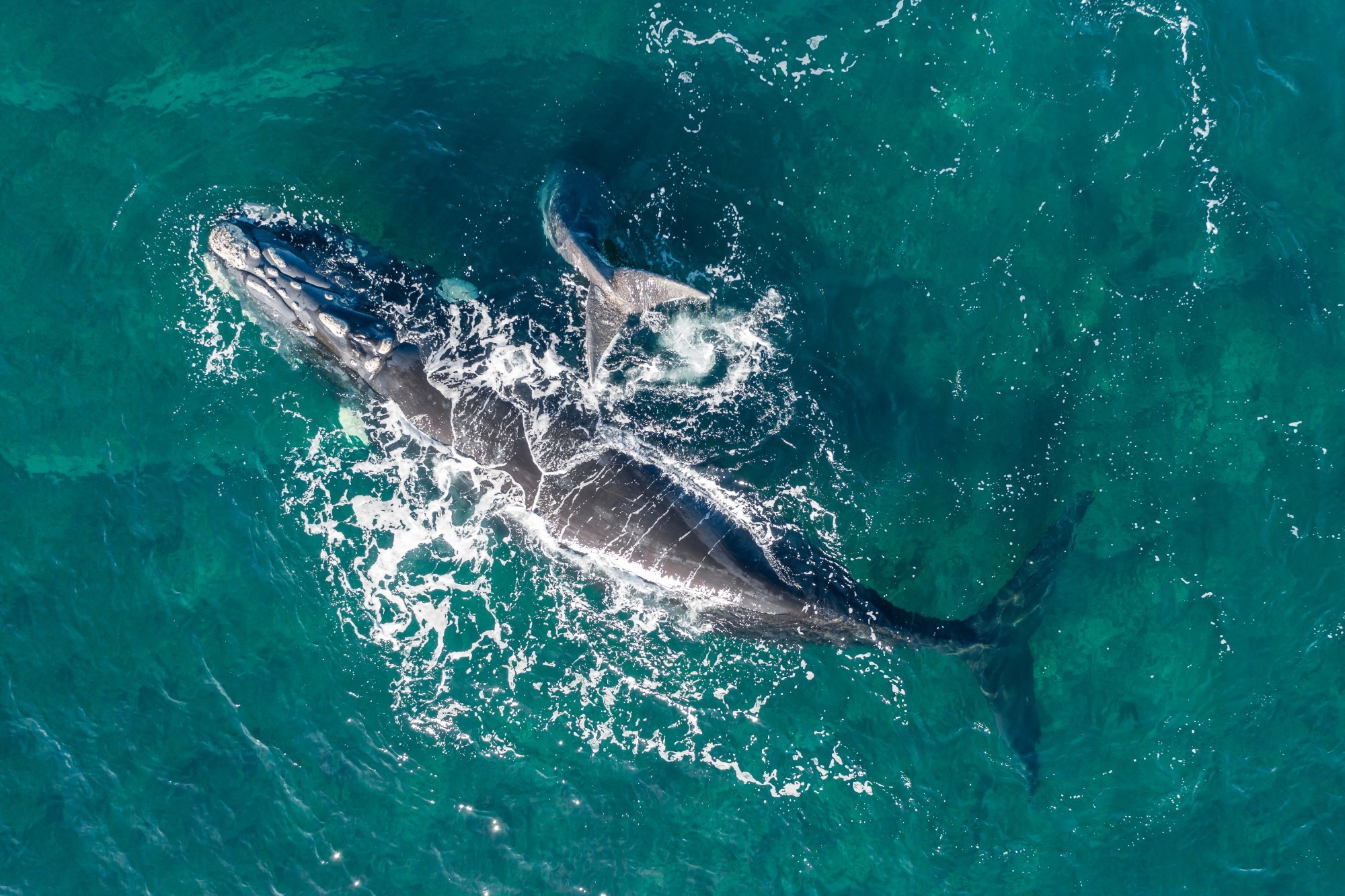
By identifying plankton hotspots over wide areas, researchers can better anticipate where right whales are likely to feed. This helps conservation teams monitor whale movements and avoid human-wildlife conflicts, such as ship strikes and fishing gear entanglement.
Importantly, this method enables regular, non-invasive monitoring of the ecosystem, without the high costs or logistical challenges of vessel-based surveys.
While MODIS has been a critical asset, it's nearing the end of its operational lifespan. Fortunately, NASA’s recently launched PACE (Plankton, Aerosol, Cloud, ocean Ecosystem) satellite brings a new generation of sensors with sharper spectral resolution and greater sensitivity. These upgrades are expected to enhance the ability to detect even more subtle biological signals, refining the way scientists track plankton and, by extension, whale feeding behavior.
This evolution in sensor technology marks a shift in how we observe marine ecosystems, making long-term, global-scale ecological monitoring more practical and precise.
Why This Matters Beyond Whale Conservation
NASA’s use of sensor technology to track Calanus finmarchicus demonstrates the growing role of space-based tools in marine science. For endangered species like the North Atlantic right whale, better data on food availability can directly inform protection strategies. But the benefits extend beyond conservation.
Fisheries, shipping routes, and climate researchers all gain valuable insights from this type of ecological intelligence. As newer satellites like PACE come online, with more advanced sensors, scientists will be better equipped to monitor ocean health in real time, and support smarter, more sustainable decisions across multiple industries.