Two independent techniques that have emerged as powerful tools for remote imaging are hyperspectral imaging and LiDAR. Recent advances in combining these two methods have shown more detailed image acquisition providing greater benefits for analysis.
Hyperspectral imaging, commonly referred to as chemical or spectroscopic imaging, combines spectroscopy with conventional imaging to concurrently gather spatial and spectral data from an object. A subfield of spectroscopy and photography, hyperspectral imaging involves collecting some or the entire spectrum at each position along an image plane.
The phrase "hyperspectral imaging" derives from remote sensing efforts to directly identify surface elements in photographs, which were first reported by Goetz et al. To pinpoint locations, identify materials, or detect processes, hyperspectral imaging aims to obtain the spectrum for each pixel in an image of a sample.
Red, green, and blue are the primary color bands detectable by the human eye in visible light. Hyperspectral imaging uses hundreds of thousands of small bands to make its images. The ability to see the unseen is improved when hyperspectral photographs have a higher level of spectral information. For instance, hyperspectral remote sensing can distinguish between 3 minerals in a mixture due to its superior spectral resolution. Another benefit of hyperspectral imaging is that the operator does not need to be familiar with the sample because the entire spectrum is recorded at each spot, and post-processing enables full data mining.
Hyperspectral imaging allows for fast and accurate examination of various materials in their natural environments while maintaining high temporal resolution. This technology has been widely applied in biotechnology, environmental monitoring, pharmaceuticals, medical diagnosis, forensic science, agricultural monitoring, and the oil and gas industry.
Drawbacks associated with hyperspectral imaging lie in its cost and difficulty of operation. For example, due to the size and complexity of hyperspectral datasets, large-scale data storage is required. Finding ways to program hyperspectral cameras to automatically filter data and transmit only the most crucial images presents another challenge. Transmission and storage of high amounts of data are challenging and expensive.
What is LiDAR?
LiDAR, which stands for "Light Detection and Ranging," is a ranging technique that determines an object's distance by directing laser beams at the target. The distance is then calculated using the time and wavelength of the light beam that is reflected. In some applications, such as laser imaging, a 3D image of the object can be produced.
LiDAR is somewhat similar to RADAR (radio-wave navigation used by ships and planes) and SONAR (underwater sound object detection and navigation, mostly used by submarines). Both RADAR and SONAR use the principle of wave reflection for object identification and distance estimation. LiDAR is based on laser beams, whilst RADAR and SONAR are based on radio waves and sound, respectively.
LiDAR can identify all types of material compositions, including non-metals, rocks, rain, chemical compounds, aerosols, clouds, and even single molecules. LiDAR employs light to image materials at several wavelengths, including ultraviolet, visible, or near-infrared.
Up to 1,000,000 light pulses per second can be fired by LiDAR systems, which use the time it takes for the pulses to be reflected back to a detector to measure the distance to nearby objects and surfaces.
A LiDAR device’s main components are a laser, a scanner, and an advanced GPS receiver. The most popular platforms for gathering LiDAR data over large areas are aircraft and helicopters. LiDAR has several uses because of its high accuracy and adaptability. For example, autonomous vehicles use LiDAR to sense impeding objects along their routes.
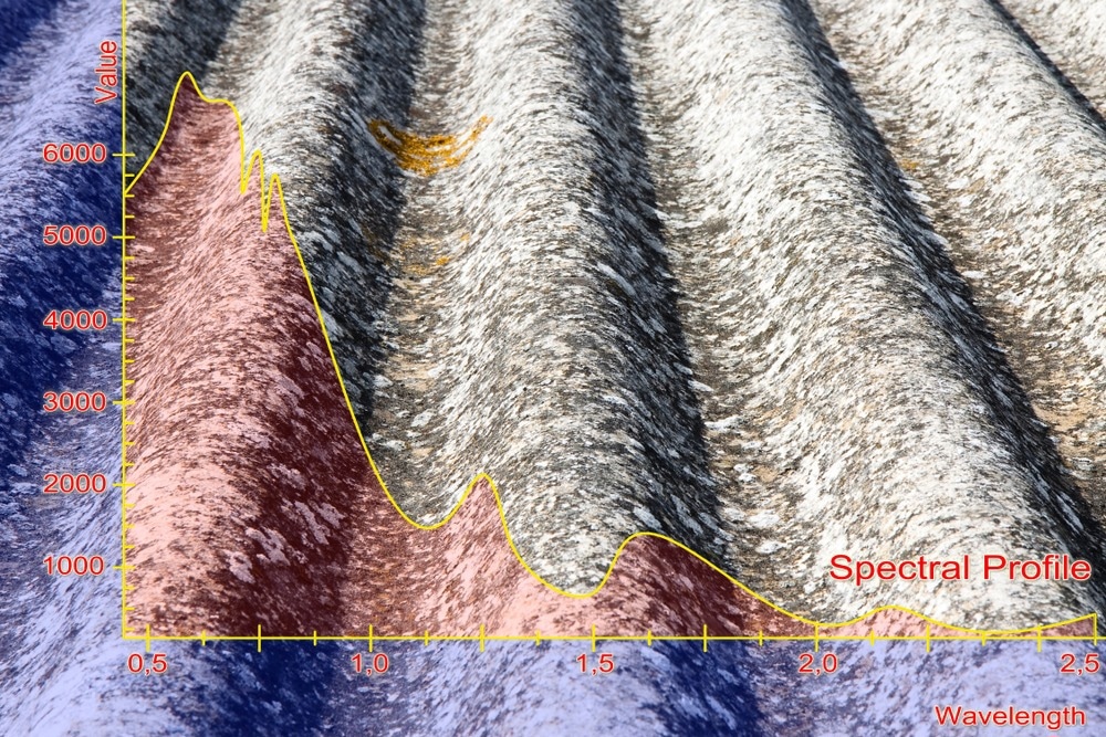
Image Credit: Francesco Scatena/Shutterstock.com
Air pollution monitoring is another application of LiDAR where molecular signatures of harmful gasses in the air can be detected. Gasses such as CO2 absorb particular infrared wavelength bands that a LiDAR detector can accurately observe. Other applications of LiDAR include land surveys using 3D imaging, exploration of oil and gas concentrations and ocean monitoring.
Along with the many advantages provided by LiDAR, there are several limitations. Depending on the particular application, in times of intense rain, fog, or snow, LiDAR systems can perform poorly. LiDAR systems also produce enormous datasets that are computationally intensive to process. Depending on the chosen wavelength, the height at which some types of LiDAR pulses are effective limits the performance of LiDAR systems.
Integrating Hyperspectral Imaging with LiDAR
The application area of both hyperspectral imaging and LiDAR individually may be expanded by creating a monitoring system based on integrating both datasets. With hyperspectral imaging, fast, precise information can be gathered about materials in their natural state at a high temporal resolution, and with LiDAR, various shapes and formations and geometrical characteristics can be obtained within a concentrated study area.
Combining LiDAR data and hyperspectral imaging methods makes it possible to predict the chemical composition of materials, resulting in a superior surface property map and three-dimensional representation.
A combined method has been applied in civil engineering structure monitoring. Detailed images were acquired for urban mapping, runoff chemical composition, shadow and light areas, and the shapes and patterns of the urban features.
Categorization of tree species has also been done using hyperspectral and LiDAR data from UAVs. Canopy Height Model (CHM) from LiDAR aids in better identification of spectrally similar species. Spectral and structural information afforded by both methods is suitable for analyzing certain species.
The spectral reflectance of gravel grain sizes and asphalt surfaces can be different due to their material composition. Spectral imaging combined with LiDAR can distinguish the microscopic details of such materials, which are hugely important in applications such as autonomous driving and industrial manufacturing.
Due to the vast regions and high costs associated with mineral exploration and mapping, remote sensing and surveying techniques are in high demand within the mining industry. Incorporating spectral and geometrical data, 3D terrain maps of the environment are created using hyperspectral photos and LiDAR point clouds.
A thorough and up-to-date inventory of the natural resources and influential environmental factors is necessary for ecological research. In most ecological studies, baseline and comparative topography and vegetation models are essential, particularly when they relate to ecological and environmental changes through time at different geographical and temporal scales.
Combining LIDAR and hyperspectral data takes advantage of the synergistic relationships between the horizontal estimates of vegetation and bare ground cover and composition that can be derived from the hyperspectral data and the vertical estimates of vegetation and topography that can be estimated from the LiDAR data.
Outlook
In general, the potential of the methods created by integrating both LiDAR data and hyperspectral imaging stands to play a major role in many applications. Rapid growth in the optoelectronics sector is expected to make impactful contributions to detection efficiency and speed, miniaturizing, and future deployment of such integrated devices.
References and Further Reading
Li, Xiaona et al (2017). "Hyperspectral Imaging and Their Applications in the Nondestructive Quality Assessment of Fruits and Vegetables" In Hyperspectral Imaging in Agriculture, Food and Environment, edited by Alejandro Maldonado, Humberto Fuentes, Juan Contreras. London: IntechOpen, https://www.intechopen.com/chapters/58346
Brook, Anna & Ben-Dor, Eyal & Richter, Reinhard. (2010). Fusion of hyperspectral images and LiDAR data for civil engineering structure monitoring. 2nd Workshop on Hyperspectral Image and Signal Processing: Evolution in Remote Sensing, WHISPERS 2010 - Workshop Program. 1 - 5.
Goetz AF, Vane G, Solomon JE, Rock BN. (1985) Imaging spectrometry for Earth remote sensing. Science. https://www.science.org/doi/10.1126/science.228.4704.1147
Disclaimer: The views expressed here are those of the author expressed in their private capacity and do not necessarily represent the views of AZoM.com Limited T/A AZoNetwork the owner and operator of this website. This disclaimer forms part of the Terms and conditions of use of this website.