Global navigation satellite systems (GNSS) provide worldwide positioning and timing by using constellations of satellites that transmit precise radio signals to receivers on the ground, at sea, in the air, and in space. This technology is useful in routine navigation for billions of users and gives reference time for many digital systems.
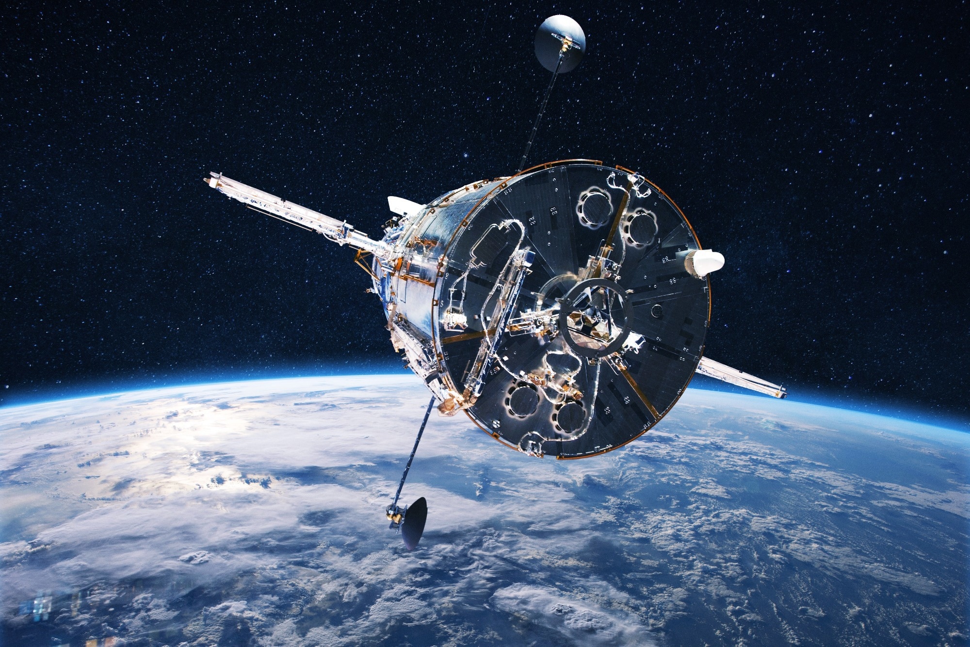 Image Credit: Alones/Shutterstock
The system architecture is based on a method called trilateration, in which a receiver calculates its position by measuring signal travel times from multiple satellites whose orbits and clock states are known. Small errors in satellite data can lead to position errors, so operators regularly update their systems.
How Global Navigation Satellite Systems Work
Each satellite in a GNSS carries atomic clocks and broadcasts signals that encode its position and precise time of transmission. A typical receiver tracks several satellites simultaneously, calculates three spatial coordinates and receiver clock offset, and then outputs position and timing information in near real time for maps, guidance, or synchronization.1,2
Signals travel through the ionosphere and troposphere, where changes in electron content and water vapor cause delays that vary with time, location, and solar activity. Modern models and real-time correction services estimate these delays, enhancing accuracy for applications that require centimeter-level precision or highly stable timing over extended periods.2,3
Constellations and Signals in Use
Several GNSS are currently in use, including GPS from the United States, Galileo from Europe, BeiDou from China, and GLONASS from Russia. Each system has its own group of satellites, ground control, and signal design. Modern receivers track multiple constellations together for better coverage and reliability.1,2
Newer satellites broadcast multiple frequencies and more robust signal structures that improve resistance to interference and reflections from buildings or terrain. Observing multiple frequencies reduces ionospheric delay and improves accuracy. Similarly, advanced signal modulations provide better precision and reliable tracking, especially in challenging environments like busy cities or dense forests.1,2
Why Global Navigation Satellite Systems Matter
GNSS is a multifaceted technology that plays an important role in navigation, precision agriculture, transportation, scientific research, and infrastructure operations.
Transportation Sector Applications
In aviation, maritime transport, and rail networks, GNSS is used in route guidance, approach procedures, and maintaining separation standards. These systems ensure organized and predictable traffic flow across busy corridors, greatly improving safety and efficiency. The precision of GNSS technology also prevents collisions and optimizes travel routes, which is particularly crucial in high-traffic areas.1,2
Precision Agriculture
Agriculture is another key area where GNSS has had a significant positive impact. Machines can now navigate fields accurately without human assistance. Tractor guidance systems have real-time GNSS corrections to follow designated planting paths. This new precision farming reduces overlap, lowers fuel consumption, and increases variable-rate input applications.4
Farming tasks like field mapping, yield monitoring, and automated spraying depend on precise satellite positioning to translate maps into action. When combined with machine learning and AI, farmers can make planting decisions calibrated to soil variation and past yield data at the sub-field level. This level of spatial resolution was practically impossible before continuous, accurate positioning became available at the field scale.4
Scientific Research and Monitoring
Beyond everyday navigation and agriculture, GNSS serves as a powerful tool for scientific research. It provides reference frames essential for continental-scale deformation studies, ice sheet movement tracking, and sea level monitoring.5,6
Even small changes at the millimeter level over time can reveal important geophysical processes. This helps scientists understand the planet's dynamics. By integrating dense networks of ground receivers with satellite data, researchers can observe Earth as a dynamic system that shifts and responds to climatic and tectonic forces.5,6
Surveying and Remote Sensing
The scientific and engineering communities use GNSS for surveying, geodesy, and remote sensing tasks that require stable coordinates and long-term observations. Additionally, spaceborne receivers on satellites in low Earth orbit utilize GNSS signals for autonomous navigation. This ability further advances missions that study the atmosphere, ionosphere, and broader Earth system dynamics through precise orbital and timing information.5,6
Infrastructure Synchronization
In the domain of critical infrastructure, GNSS is crucial for the precise dissemination of time across power grids, telecommunications networks, and financial trading systems. Facilities use signals from satellite receivers to synchronize control systems, align digital records, and support safety protocols that rely on accurate phase and latency measurements. This synchronization forms the basis for the efficient operation of modern technologies.7
Challenges and Vulnerabilities
Signals from GNSS arrive at the receiver with very low power because they travel long distances from medium Earth orbit and spread over wide areas. This low power level makes them susceptible to unintentional interference from radio transmitters and intentional jamming, which can temporarily disrupt positioning and timing services in affected regions.1,8
Adversaries can also generate counterfeit signals that imitate authentic satellite transmissions. These fake signals can mislead receivers, leading to inaccurate reported positions or times in the absence of any obvious external indicators. To prevent spoofing, effective detection strategies include monitoring the signal structure, utilizing antenna arrays, and ensuring consistency between satellite geometry and measured distances.1,8
Saving this for later? Download a PDF here.
Space weather poses another challenge for GNSS because ionospheric irregularities cause scintillations that rapidly change the signal's amplitude and phase. Studies over Brazil and other equatorial regions show that scintillation events can reduce availability, increase positioning errors, and occasionally cause loss of lock for single-frequency receivers without robust tracking algorithms.3
Future Directions
Future GNSS will feature more constellations and frequencies for greater accuracy and availability. This will support higher accuracy and better availability in dense cities and high latitude regions. Researchers are focusing on integrating low Earth orbit satellites and services that provide extra signals and real-time corrections from space. Trends in receiver design emphasize miniaturization, lower power consumption, and improved sensitivity for small satellites, unmanned vehicles, and portable devices.1,2,5
Advanced correction techniques, such as precise point positioning and real-time kinematic processing, allow GNSS to reach centimeter-level accuracy for dynamic platforms. Commercial services deliver corrections via satellites or internet links, while sensor fusion merges satellite data with inertial units, radar, or cameras to maintain navigation performance in environments with partial signal blockage.1,2
Autonomous vehicles, drones, and industrial robots already rely on high-precision GNSS, and tighter integration with onboard sensors will support safer operations in crowded or complex settings. System designers are investing in resilient receivers and correction services because positioning accuracy and continuity influence safety cases, regulatory approval, and economic performance for automated platforms.1,2
References and Further Reading
- Global Navigation Satellite System (GNSS) and Satellite Navigation Explained. Advanced Navigation. https://www.advancednavigation.com/tech-articles/global-navigation-satellite-system-gnss-and-satellite-navigation-explained/
- Ahmed, W. A. et al. (2025). Evolution of GNSS/GPS technology and its applications from ancient times to the present. Next Research, 2(3), 100387. DOI:10.1016/j.nexres.2025.100387. https://www.sciencedirect.com/science/article/abs/pii/S305047592500257X
- Aguiar, C. R. et al. (2025). Impact of Ionospheric Scintillations on GNSS Availability and Precise Positioning. Space Weather, 23(2), e2024SW004217. DOI:10.1029/2024SW004217. https://agupubs.onlinelibrary.wiley.com/doi/full/10.1029/2024SW004217
- Perez-Ruiz, M. et al. (2021). Chapter 15 - High-precision GNSS for agricultural operations. GPS and GNSS Technology in Geosciences. DOI:10.1016/B978-0-12-818617-6.00017-2. https://www.sciencedirect.com/science/chapter/edited-volume/abs/pii/B9780128186176000172
- Gill, E. et al. (2023). Overview of Space-Capable Global Navigation Satellite Systems Receivers: Heritage, Status and the Trend towards Miniaturization. Sensors, 23(17). DOI:10.3390/s23177648. https://www.mdpi.com/1424-8220/23/17/7648
- Jin, S., Meng, X., Dardanelli, G., & Zhu, Y. (2024). Multi-Global Navigation Satellite System for Earth Observation: Recent Developments and New Progress. Remote Sensing, 16(24). DOI:10.3390/rs16244800. https://www.mdpi.com/2072-4292/16/24/4800
- Lombardi, M. A. (2021). An Evaluation of Dependencies of Critical Infrastructure Timing Systems on the Global Positioning System (GPS). NIST Technical Note 2189. DOI:10.6028/NIST.TN.2189. https://www.gps.gov/sites/default/files/2025-07/NIST.TN_.2189.pdf
- Burbank, J., Greene, T., & Kaabouch, N. (2024). Detecting and Mitigating Attacks on GPS Devices. Sensors, 24(17), 5529. DOI:10.3390/s24175529. https://www.mdpi.com/1424-8220/24/17/5529
Disclaimer: The views expressed here are those of the author expressed in their private capacity and do not necessarily represent the views of AZoM.com Limited T/A AZoNetwork the owner and operator of this website. This disclaimer forms part of the Terms and conditions of use of this website.