Although this thermal drone helps in detection, its flight duration is limited lasting a maximum of about 30 minutes per flight. Conducting longer patrols requires additional batteries and a schedule of two patrols per week.
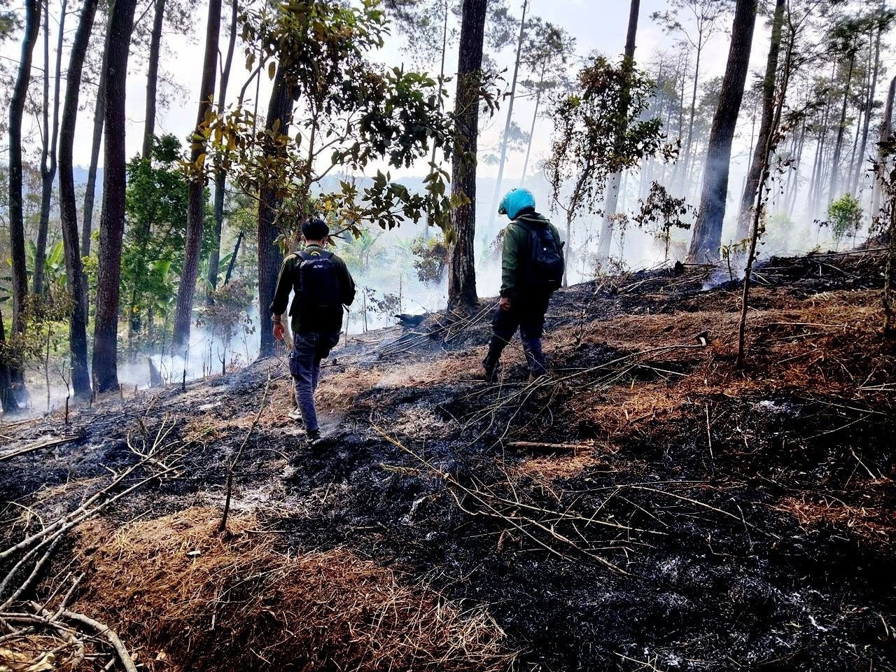 Image Credit: Brawijaya University
Universitas Brawijaya (UB) Forest management is strengthening forest fire mitigation techniques by deploying a Matrice 30T thermal drone which capable of detecting hotspots from the air within the area.
Muhammad Yusuf, the Coordinator for Forest Area Protection and Supervision at UB Forest, stated in an official release received in Malang City, East Java, on Thursday, that the technology assists personnel in obtaining preliminary information regarding suspected fire hotspots before field interventions are carried out.
"If a hotspot is detected, we immediately go to the site to check. If a fire is found, it will promptly be extinguished," Yusuf said.
The use of this drone represents a preparedness measure by UB Forest management to prevent fires amidst an increasingly drier dry season. Such dry conditions necessitate more intensive monitoring patterns.
The team utilized the technology to monitor the area between August 25 and 27, 2026, yielding results when a fire was detected just outside the site specifically in the border zone between UB Forest and the adjacent to forest area.
Nevertheless, Yusuf noted that findings from aerial monitoring remain a concern for personnel, as the fire could potentially spread into UB Forest if not addressed quickly.
He added that the detected fire was successfully brought under control and extinguished. Afterward, personnel conducted a sweep to ensure no new hotspots emerged, including within the UB Forest area itself.
"Thankfully, everything is still safe; the team conducted another check using drones, and nothing was found," he said.
In an effort to safeguard the forest area, management involves local farmers who cultivate the land through a cooperation agreement scheme. Rifqi Rahmat Hidayatullah, the Coordinator of Functional Position Group (KJF) for Education, Training, and Development at UB Forest Management Unit (UPT), explained that the use of thermal drones is one way to extend the reach and strengthen patrols which are traditionally conducted on the ground to detect potential fires. Foot or motorcycle patrols have limited range, he noted.
He further explained that the Matrice 30T thermal drone is equipped with sensors which capable of detecting surface temperatures.
When an area with a higher temperature than its surroundings is detected, officers can direct the drone to that location to inspect it using the device's zoom-capable camera.
Yulianto Muji Nugroho, an Educational Laboratory Technician (PLP) at UB Forest, stated that in a single flight, the drone can cover an area of approximately 10 hectares, with a maximum monitoring range of about 500 meters.
This capability allows officers to monitor a wider area from the air. In one flight, the Matrice 30T can cover an area of around 10 hectares, with a maximum monitoring range of about 500 meters of 60-80 ht. This reach helps officers gain an initial overview of the area's condition without having to manually sweep the entire site.
"Although this thermal drone helps in detection, its flight duration is limited lasting a maximum of about 30 minutes per flight. Conducting longer patrols requires additional batteries and a schedule of two patrols per week," he said.
Due to these limitations, the drone serves as a supporting tool within the early detection system rather than a replacement for field patrols. Despite the use of technology, UB Forest managers recognize that fire mitigation still requires public awareness.